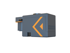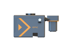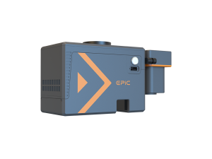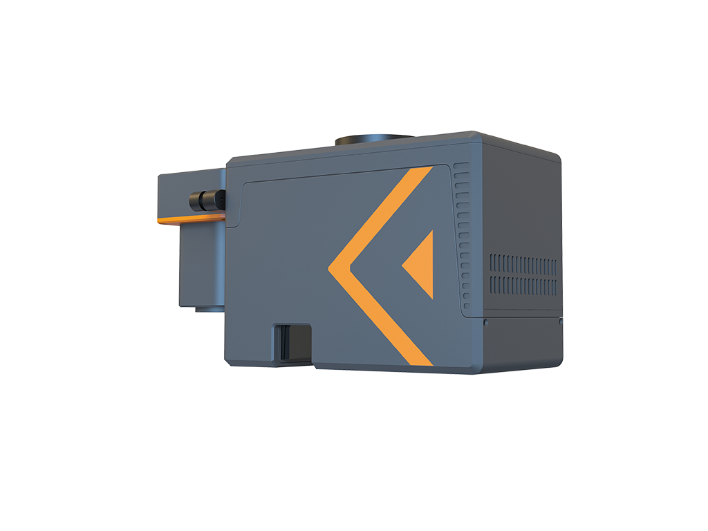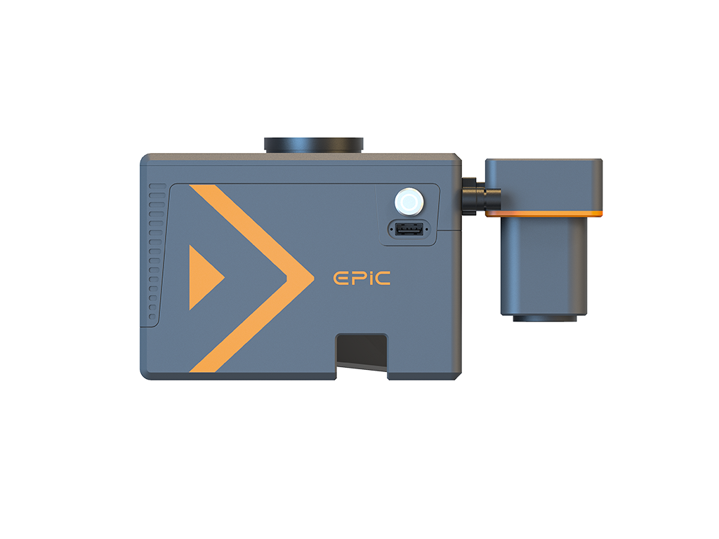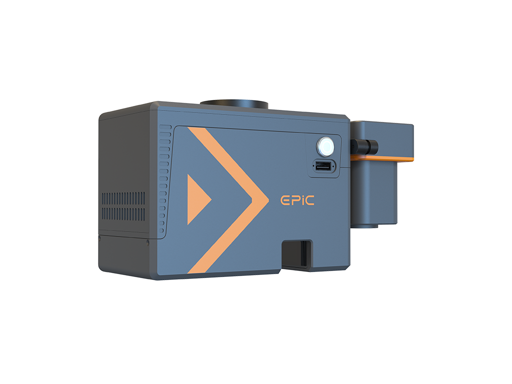
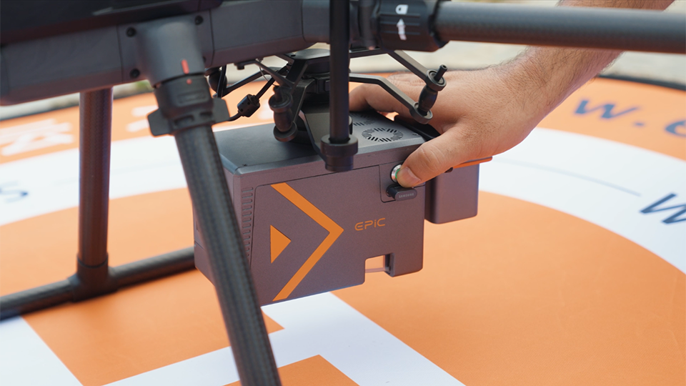
The W50 is a lightweight, highly integrated UAV LiDAR system featuring an in-house developed LiDAR sensor, a high-performance IMU, and a modular aerial camera. Designed for efficient, high-precision aerial surveying, it delivers reliable 3D data acquisition.
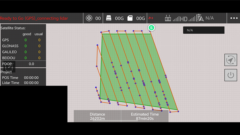
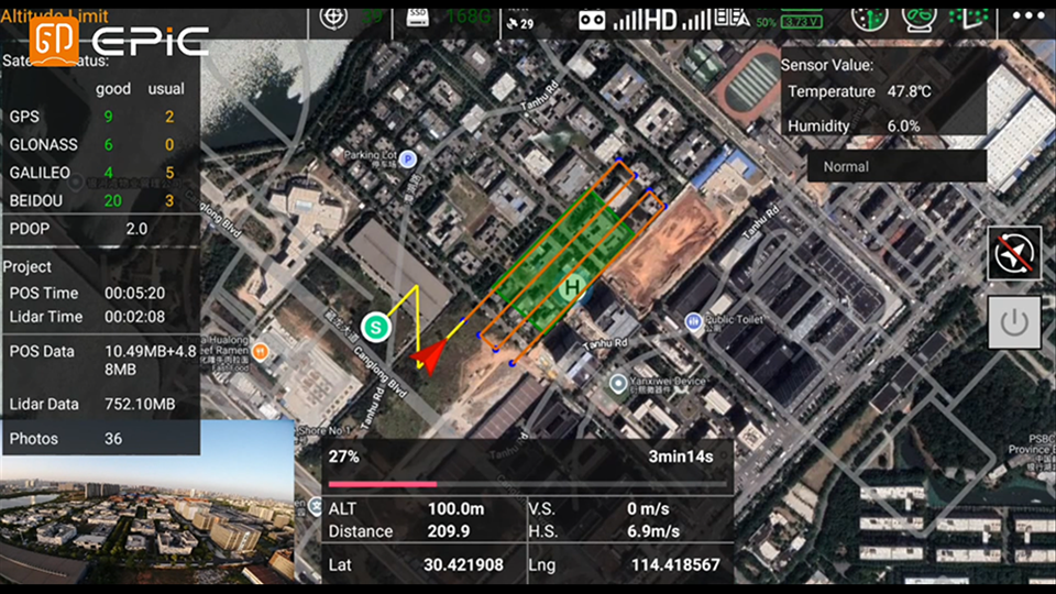
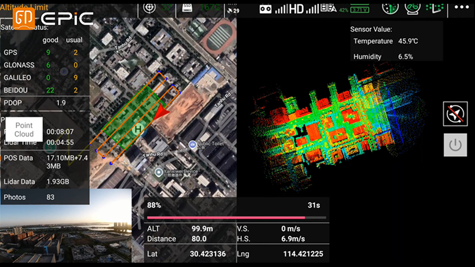
Easy Pilot Access integrates UAV mission planning,payload control, LiDAR data capture, and real-timemonitoring into one field workflow. Designed forDJI M300/M350/M400 platforms, it supportsDEM-based terrain following, RTK positioning, andreal-time point cloud preview for efficient UAVLiDAR operations.
DEM-Based Terrain Following
High-Accuracy RTK Positioning
Real-Time Point Cloud Preview
Dual Control Options
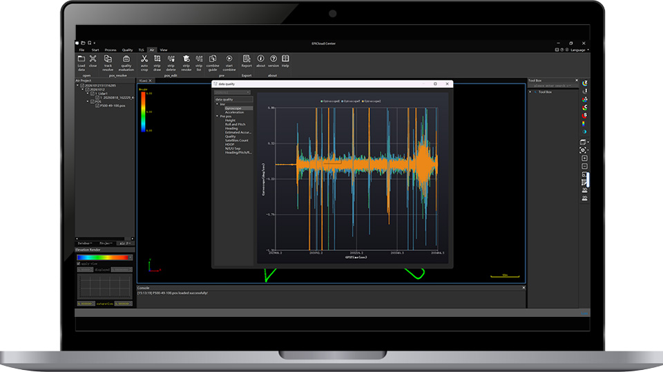
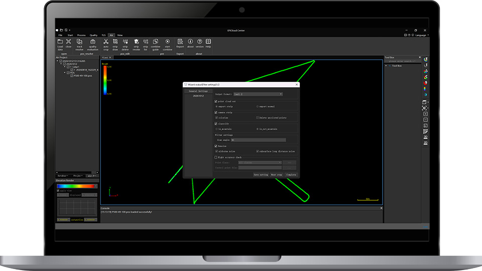
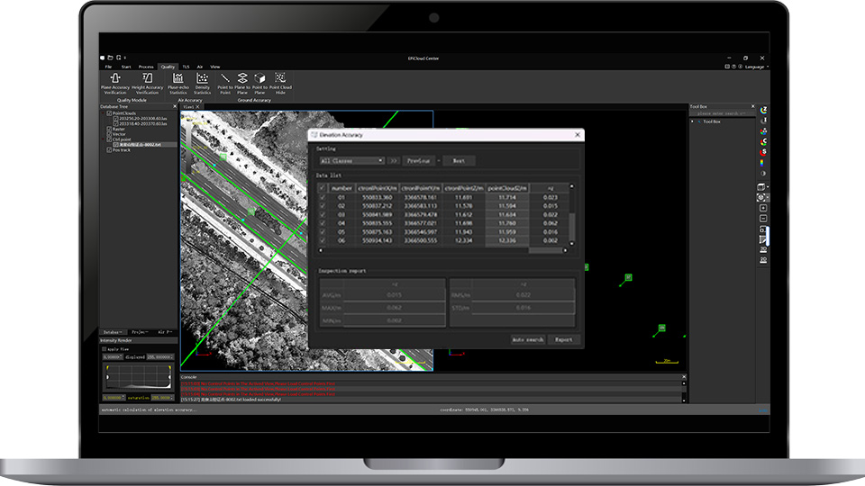
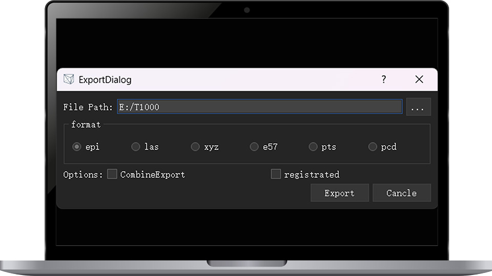
EPiCloud Center is professional UAV LiDAR processing software for GNSS/INS processing, strip adjustment, quality validation, and standard point cloud export. It provides a streamlined workflow that transforms raw UAV LiDAR data into accurate and reliable point cloud deliverables.
GNSS/INS Trajectory Processing
Point Cloud Generation & Refinement
Data Quality Assessment
Industry-Standard Data Export
| Weight | 1.21kg(Camera not Included) | |||
| 1.40kg(Including 26 Megapixel Camera) | ||||
| Dimensions | 156mm × 90mm × 117mm | |||
| System Accuracy | Horizontal: 5cm@150m / Vertical: 3cm@150m | |||
| Power Consumption | Typ. 45W | |||
| Power Supply | 9~36V DC | |||
| Quick-release Interface | DJI skyport / EPiC Quick-release Interface Customized Interface | |||
| Data Storage | USB Flash Drive 256 GB | |||
| Operating Temperature | -20℃~50℃ | |||
| Storage Temperature | -30℃~60℃ | |||
| Compatible Platform | DJI M300/M350/M400/Other UAV models | |||
| Scan Principle | ToF | |||
| Laser Class | Class I | |||
| Wavelength | NIR | |||
| Range | 500m@20% / 1000m@80% | |||
| AGL | 350m@20% / 450m@35% | |||
| Accuracy | 5mm@100m | |||
| FoV | 90° | |||
| Angle Measurement Resolution | 0.0018° | |||
| Laser Beam Divergence | 0.5 mrad | |||
| Scanning Speed | 90~300 Lines/sec | |||
| Laser Pulse Repetition Rate | 100~1000 kHz | |||
| Return | 7 | |||
| GNSS Signal Tracking | GPS,BDS,GLONASS,GALILEO | |||
| Positioning Accuracy(Post-processing) | Horizontal: 1cm / Vertical: 2cm | |||
| Position Sampling Rate | 5Hz | |||
| Attitude Accuracy(Post-processing) | Heading: 0.02°,Pitch/Roll: 0.005° | |||
| Attitude Sampling Rate | 1000Hz | |||
| Resolution of Panoramic Image | Approx. 26MP | Approx. 45MP | ||
| Dimensions | 23.5mm × 15.6mm | 36mm × 24mm | ||
| FoV | 73° | 90° | ||
| GSD | 2.3cm@100m AGL | 2.4cm@100m AGL | ||
Copyright © 2026 All Rights Reserved