Skip to content
Products
Terrestrial Laser Scanners
UAV LiDAR Systems
LiDAR Sensors
Software
Applications
Geospatial
Resources
Videos
Sample Data
Insights
Events & News
NEWS
Events
About Us
Menu
Products
Terrestrial Laser Scanners
UAV LiDAR Systems
LiDAR Sensors
Software
Applications
Geospatial
Resources
Videos
Sample Data
Insights
Events & News
NEWS
Events
About Us
Products
Close Products
Open Products
Terrestrial Laser Scanners
UAV LiDAR Systems
LiDAR Sensors
Software
T150
T1000
View More
W50
X10
View More
P30
P500
View More
Easy Pilot Access
View More
Applications
Close Applications
Open Applications
Geospatial
Resources
Close Resources
Open Resources
Videos
Sample Data
Insights
Events & News
Close Events & News
Open Events & News
News
Events
About Us
Contact Us
Explore Our 3D LiDAR Systems
From terrestrial scanning to airborne mapping and LiDAR sensing, EPiC LiDAR delivers high-precision solutions that capture, process, and transform real-world environments into accurate 3D data.
HOME
/ UAV LiDAR Systems
Search
Search
Terrestrial Laser Scanners
UAV LiDAR Systems
LiDAR Sensors
Software
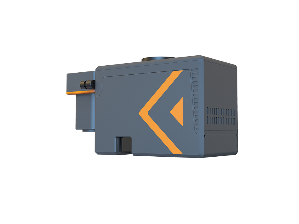
W50 UAV LiDAR System
Lightweight UAV LiDAR for High-Precision Aerial Surveying
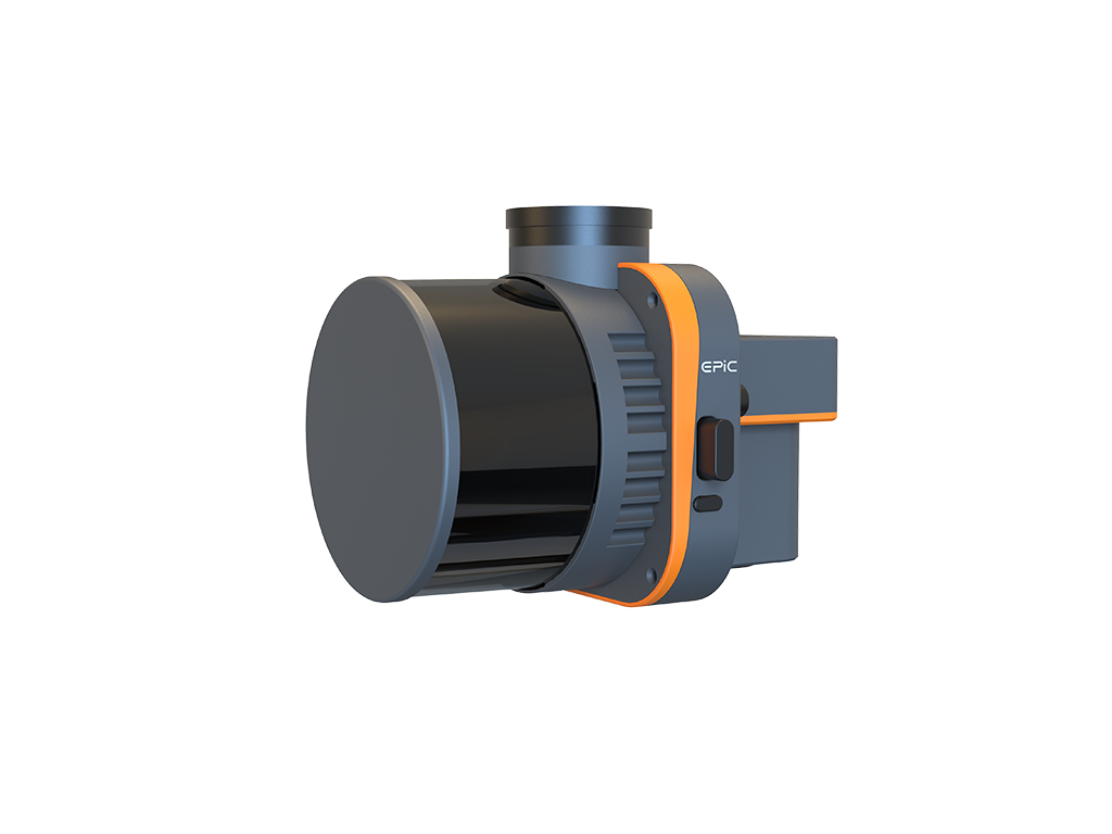
X10 Series UAV & SLAM LiDAR System
One System, Multiple Modes for Flexible 3D Capture
Name
Email
Country / Region
Message
We use the information you provide to respond to your inquiry. For details, please see our
Privacy Policy
Send