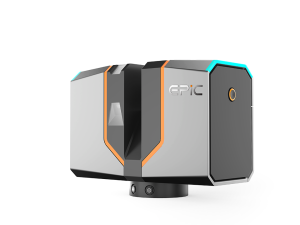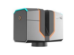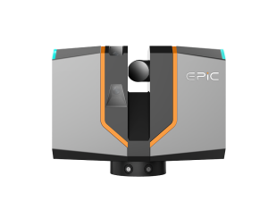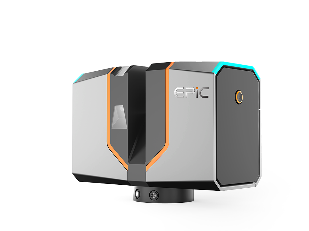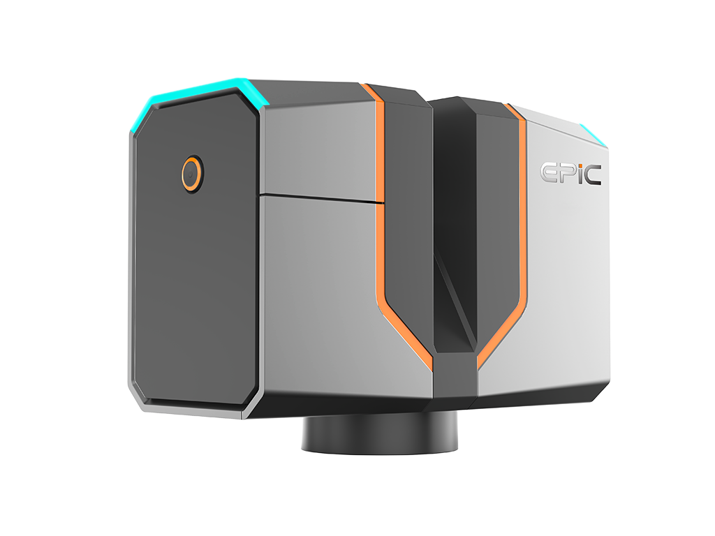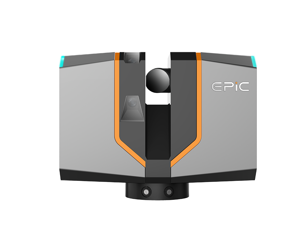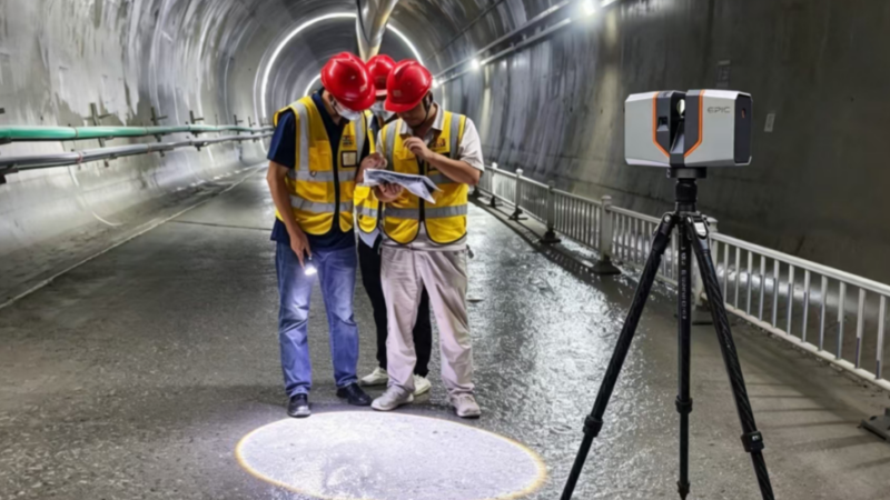
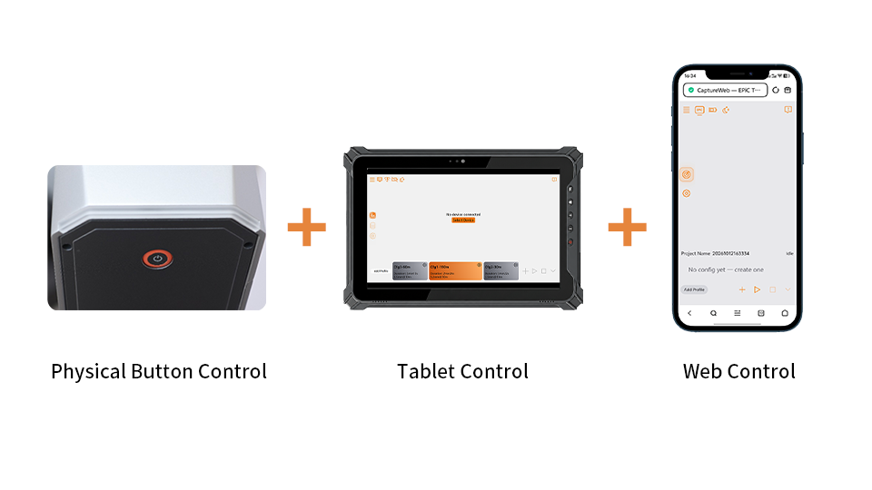
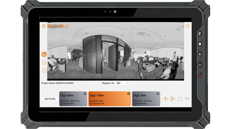
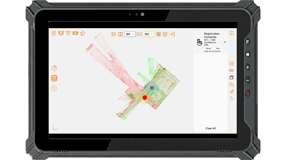
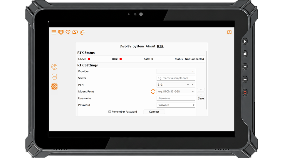
EPiC Capture brings scanner control, data acquisition, real-time visualization, and in-field quality checks into a streamlined terrestrial laser scanning (TLS) workflow. Offering flexible control via hardware, mobile app, and web interface, it also supports in-field pre-registration and RTK positioning, enabling users to verify data coverage and quality before leaving the site.
Multi-Platform Web Control
Real-Time Data Preview
In-Field Pre-Registration
RTK Positioning
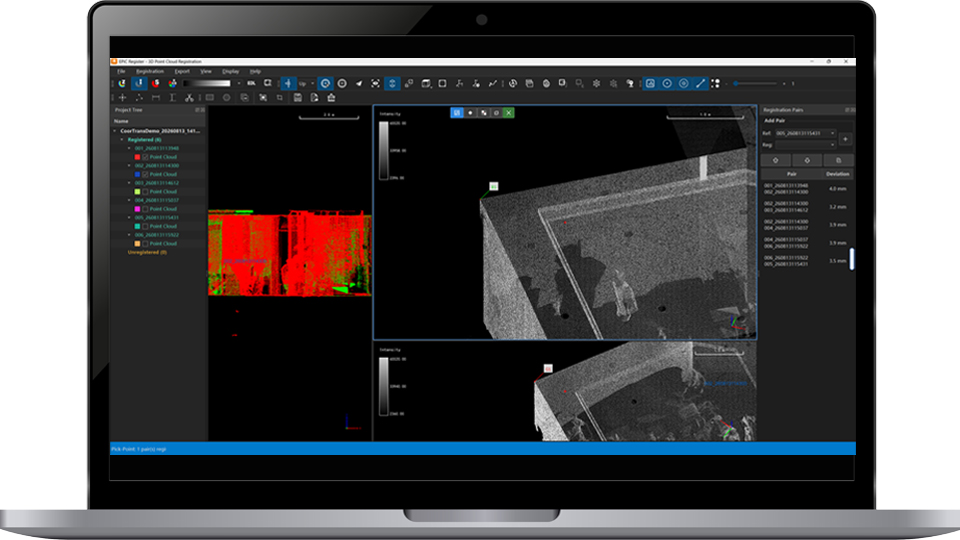
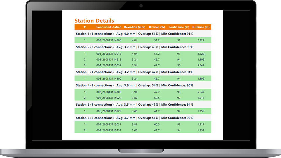
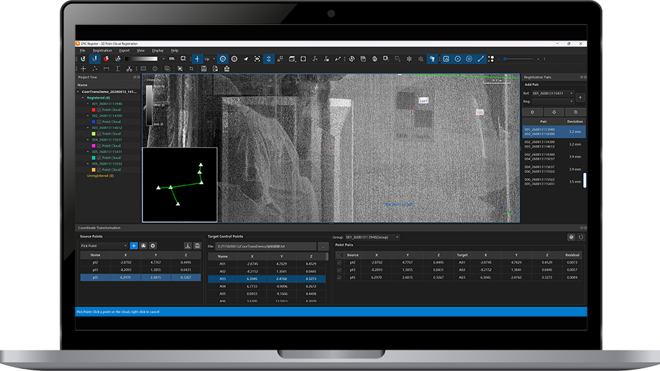
EPiC Register is professional point cloud registration and processing software for multi-station terrestrial laser scanning projects. It supports flexible registration,massive point cloud processing, registration optimization, georeferencing, and standard point cloud export,enabling efficient workflows and accurate, reliable data delivery.
Multiple Registration Methods
Registration Optimization
Georeferencing & Control Points
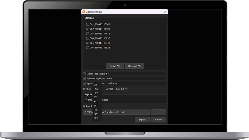
Standard Point Cloud Export
| Weight | Approx.3.3kg(Battery Included) |
| Dimensions | 216mm×168mm×105mm |
| Power Consumption | Typ. 50W |
| Operating Temperature | -20~+50℃ |
| Storage Temperature | -30~+60℃ |
| Data Storage | Internal SSD: 1 TB External USB Drive: up to 256 GB |
| IP Rating | IP54 |
| Laser Class | Class 1, Eye-safe |
| Wave Length | NIR |
| FoV | Horizontal 360°; Vertical 300°(-60°~+90°) |
| Maximum Vertical Rotation Speed | 100 lines/sec |
| Maximum Pulse Repetition Rate | 1.2MHz |
| Scanner Control | Wireless, Wired, and Button |
| Mounting Orientations | Upright/Inverted |
| Max.Range | 150m |
| Precision(1σ) | 1.5mm@50m;2.5mm@100m |
| Accuracy(1σ) | 2mm@50m;3mm@100m; |
| Unite | 2 |
| Resolution | 4000×3000 |
| Effective Resolution of Panoramic Imagery | Approx. 100 MP |
| High Dynamic Range (HDR) | Exposure Bracketing 3× / 5× |
| Internal Battery | 2 x Internal, Rechargerable |
| Li-lon Batteries | |
| Weight 235g/pc | |
| 3300mAh | |
| Operating Temperature -20~+60°C | |
| External | Hot-swappable |
| Communication | Gigabit Ethernet |
| Integration & Development | Supported |
| Tilt-compensation | Dual-axis +5° |
| Inertial Navigation System | MEMS IMU |
| GNSS Signal Tracking | BDS, GPS, GLONASS, Galileo, QZSS, NavIC, SBAS Supported |
| Tripod | Carbon Fiber Tripod |
Copyright © 2026 All Rights Reserved