Easy Pilot Access

UAV LiDAR Control Software
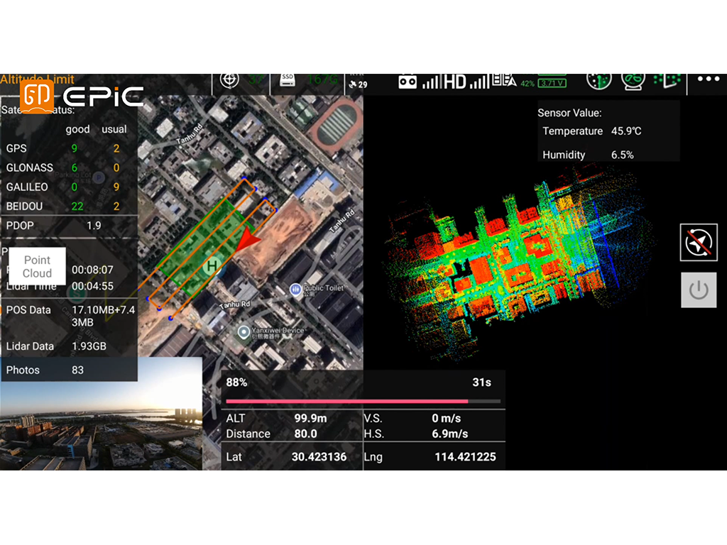
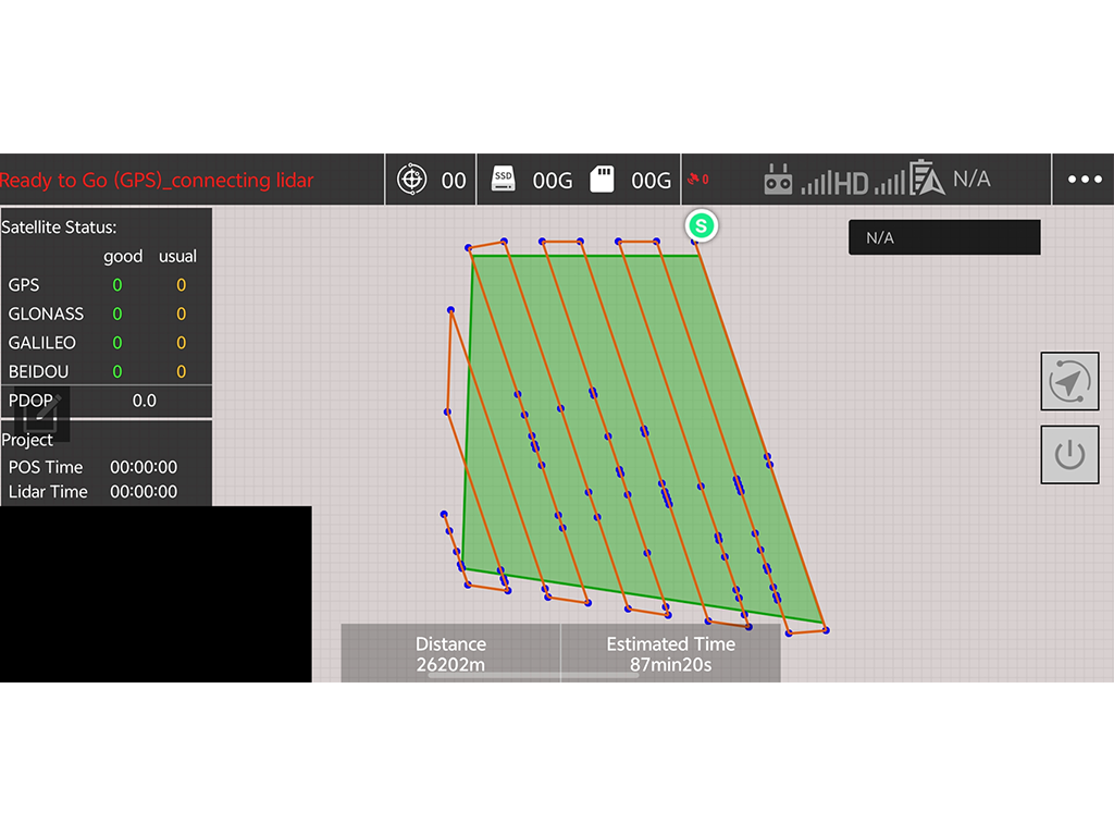
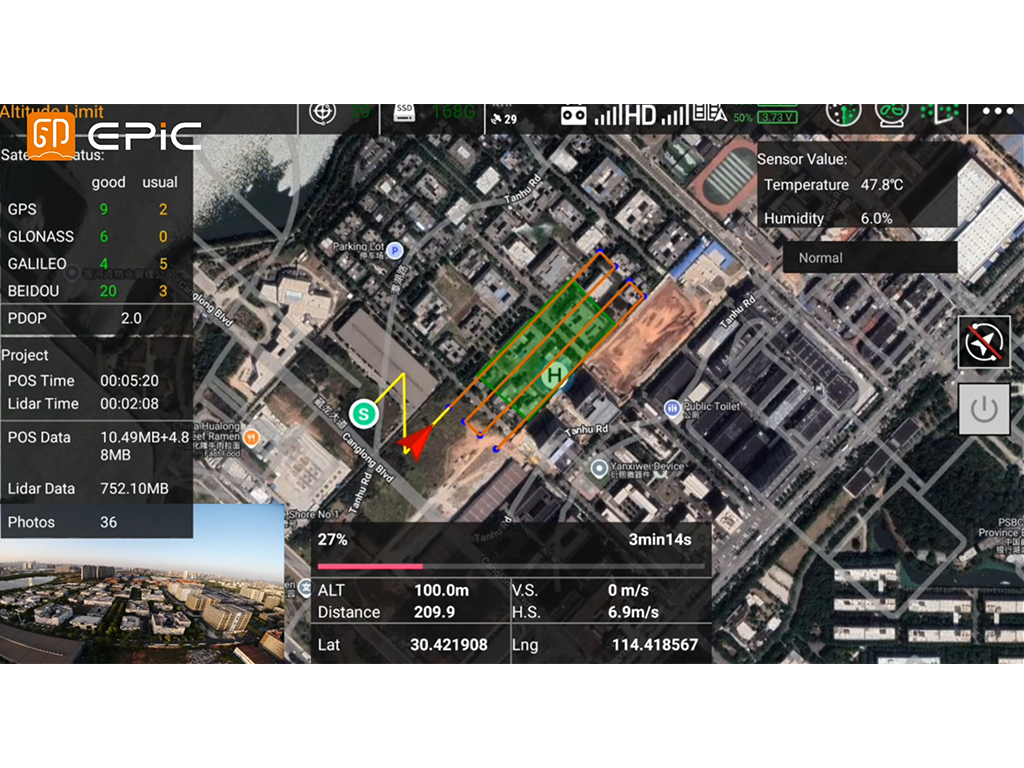
Easy Pilot Access integrates UAV mission planning,payload control, LiDAR data capture, and real-time monitoring into one field workflow. Designed forDJI M300/M350/M400 platforms, it supports DEM-based terrain following, RTK positioning, and real-time point cloud preview for efficient UAV LiDAR operations.

Main Features

DEM-Based Terrain Following

Import DEM data to generate terrain-following flight paths and maintain a consistent relative flying height for more uniform point cloud coverage.

High-Accuracy RTK Positioning

Use real-time RTK positioning to provide accurate spatial reference for flight operations and acquired data.

Real-Time Point Cloud Preview

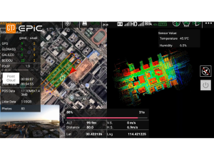
View decimated point cloud data and system status on the controller in real time to verify acquisition progress and coverage during flight.

Dual Control Options

Control data acquisition using either hardware buttons or the app for greater operational flexibility and reliability.

Discuss Your Project Requirements

Tell us about your project, and our engineers will promptly recommend the most suitable solution.
We use the information you provide to respond to your inquiry. For details, please see our Privacy Policy