Geospatial

High-precision 3D data capture, from detailed surveys to large-area mapping
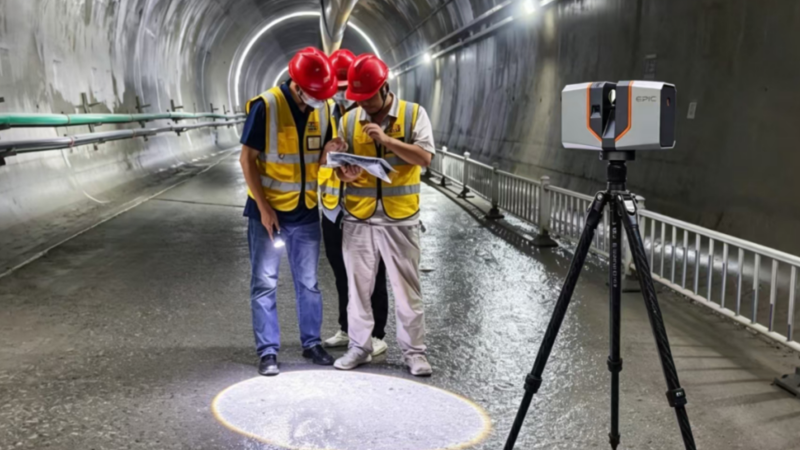
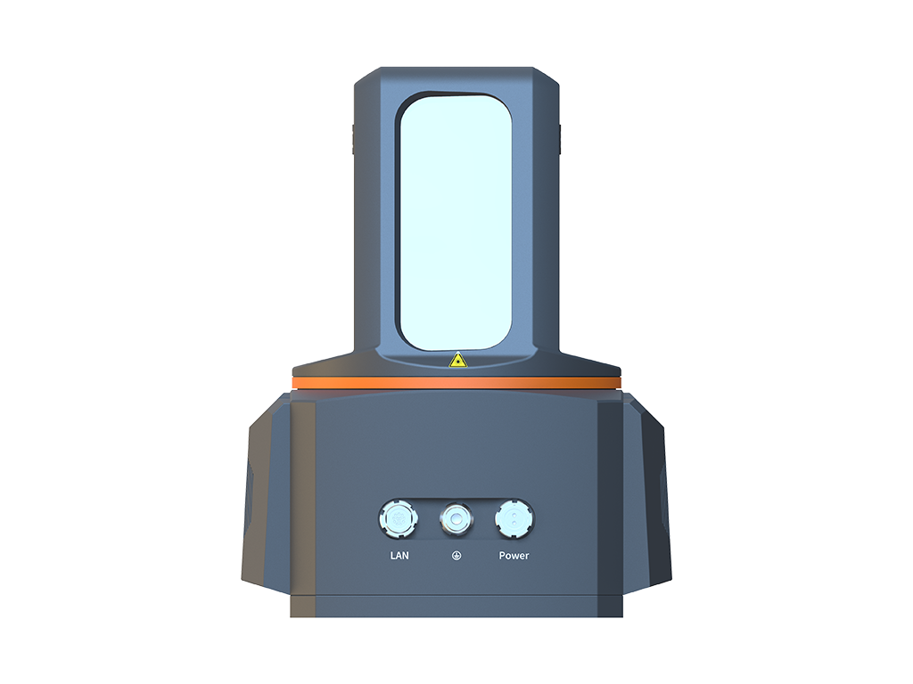
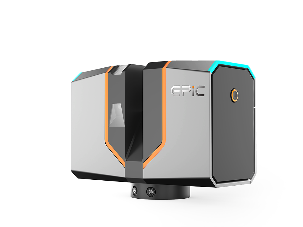
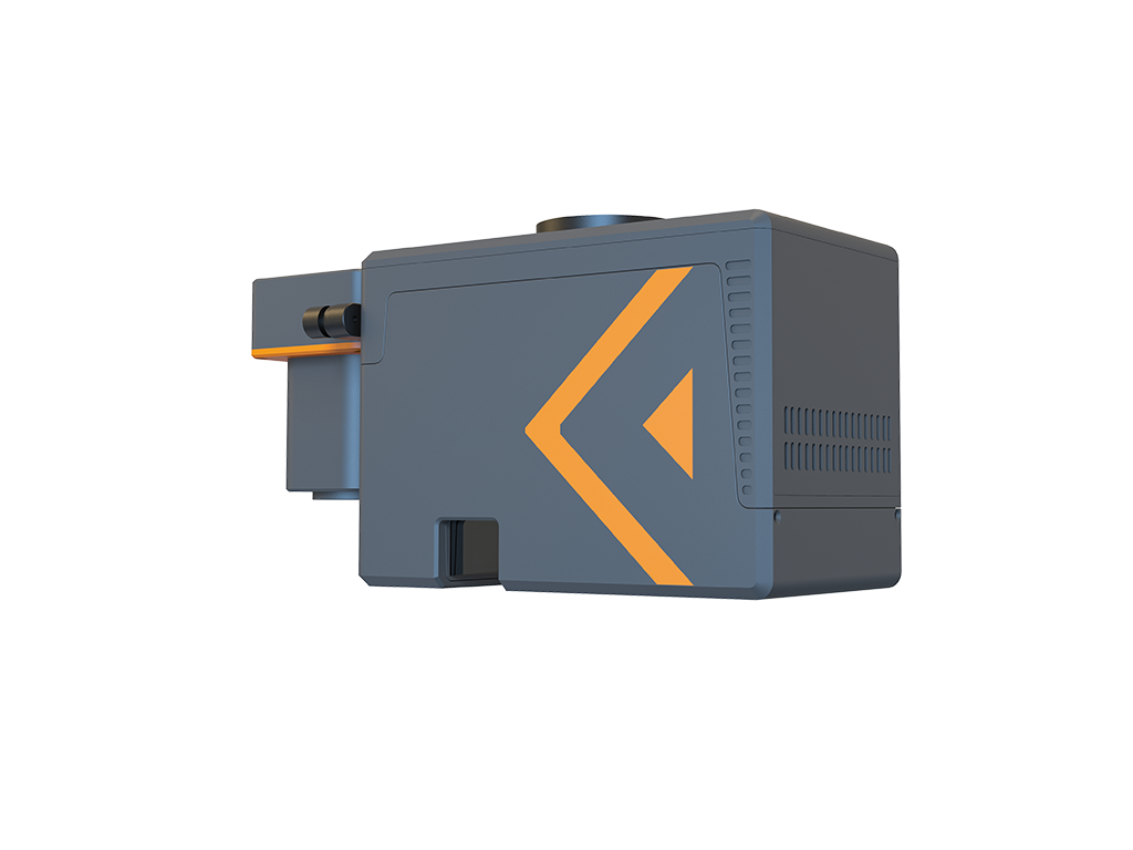
Surveying is evolving from discrete point measurements toward high-density 3D data acquisition. Complex terrain, urban environments, and large survey areas demand higher accuracy, greater coverage efficiency, and more complete data. EPiC LiDAR combines terrestrial laser scanning and UAV LiDAR to support 3D data acquisition across different project scales, delivering dense point clouds for professional surveying, terrain mapping, urban infrastructure surveying, 3D spatial modeling, and research applications.

Core Competencies

Detailed Surveys with Greater Data Completeness

High-accuracy, high-density 3D capture records detailed geometric features and spatial positions, reducing the gaps associated with discrete point measurements.

Less Ground Surveying over Large Areas

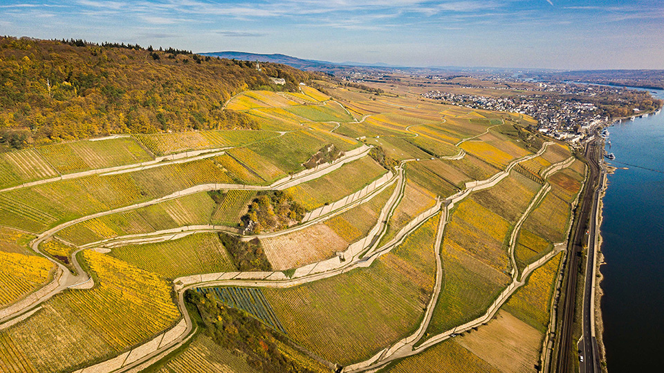
UAV LiDAR can efficiently cover large and complex terrain, complementing terrestrial scanning while reducing the need for dense ground-based measurements.

Streamlined Field-to-Office Workflow

Supporting software connects field data capture, on-site review, point cloud generation, and processing, reducing repetitive work and improving overall workflow efficiency.

Core Applications

Topographic Surveying
Surveying Education & Research
Municipal Infrastructure Mapping
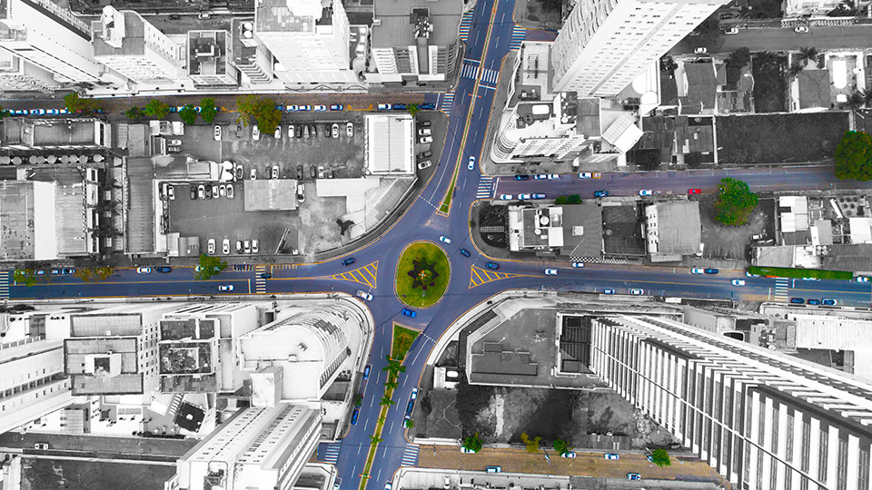
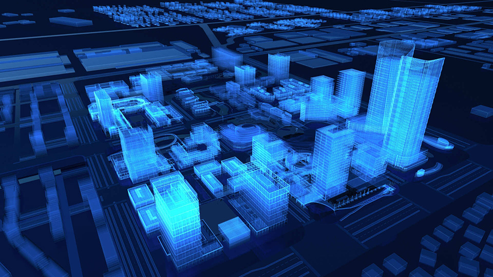
3D City Mapping
18 Stations, 1 Hour: Rapid 3D Reality Capture with EPiCLiDAR T150
High-Precision Challenge in Denver, with "I See What You Mean"!
18 Stations, 1 Hour: Rapid 3D Reality Capture with EPiCLiDAR T150
We use the information you provide to respond to your inquiry. For details, please see our Privacy Policy