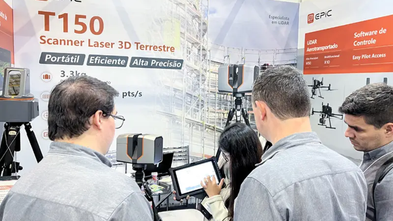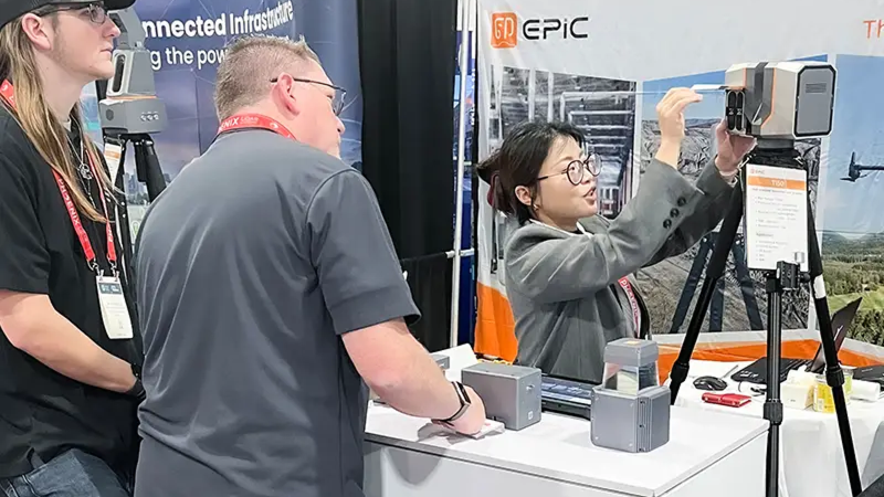
A complete LiDAR portfolio for professional 3D data capture and processing.
High-precision scanning for construction, BIM, and engineering-grade reality capture.
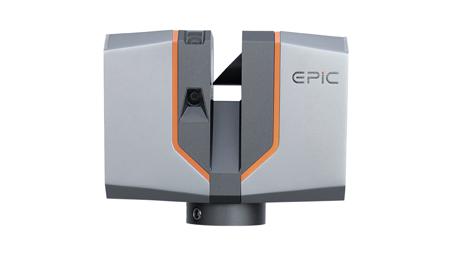
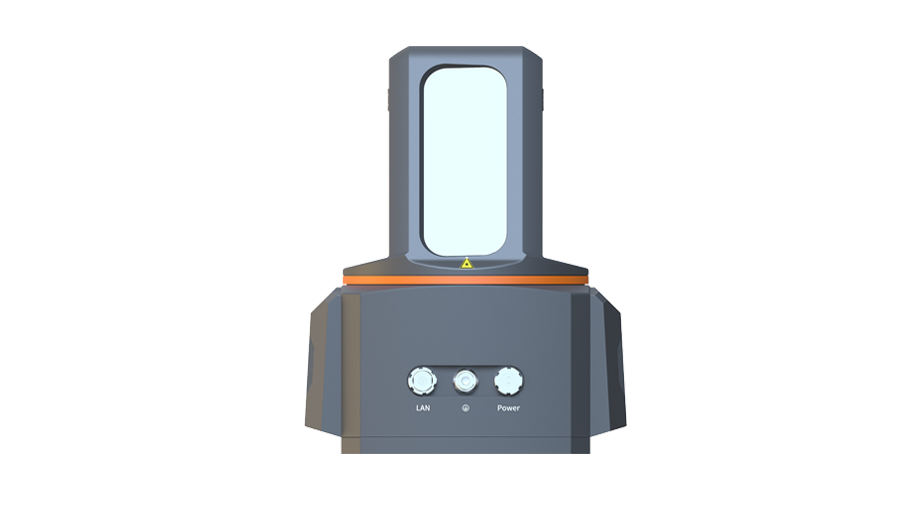
Efficient, accurate aerial data capture for large-area mapping and infrastructure surveys.
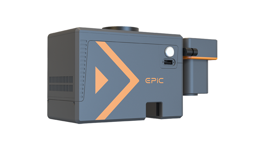
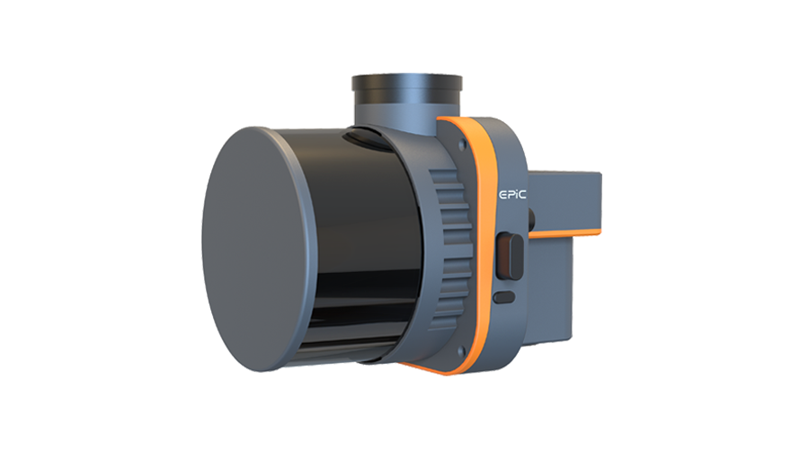
Core LiDAR modules for integration and customized system development.
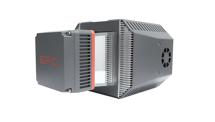
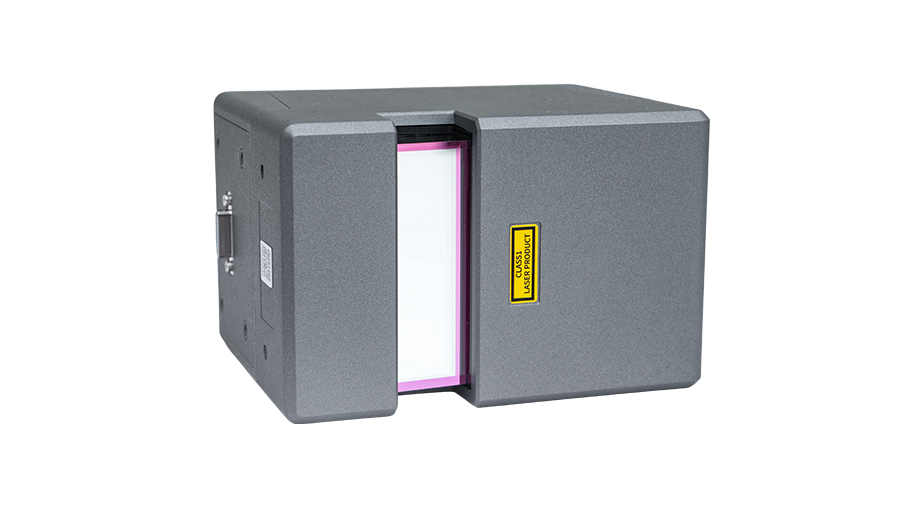
Software for field control, data acquisition, and point cloud processing across the workflow.
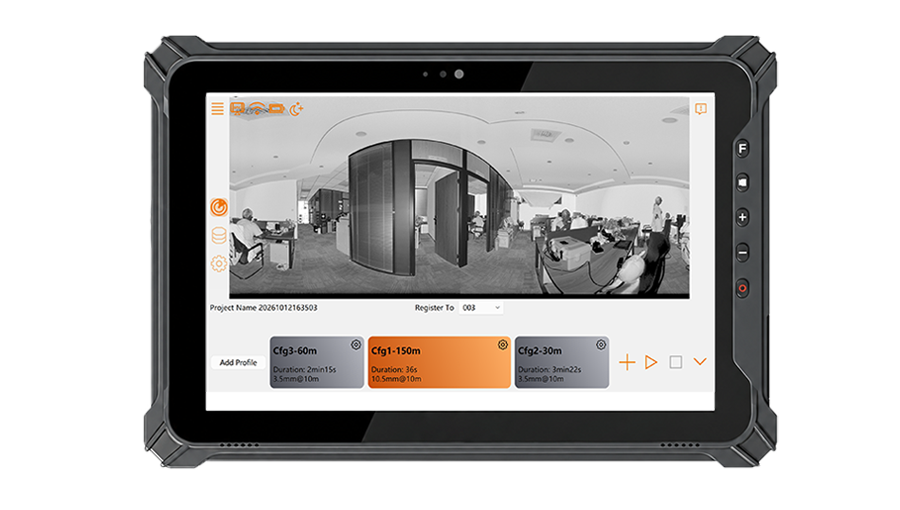
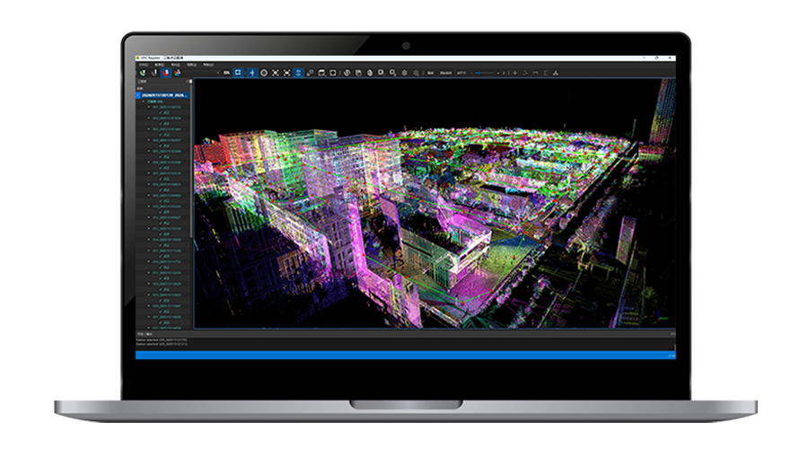
Supporting professional applications across industries with accurate 3D data capture in complex environments.
01
Our core R&D team brings over 15 years of experience in high-precision LiDAR development and real-world applications, providing strong technical expertise for continuous product development and improvement.
02
Our portfolio includes terrestrial laser scanners, UAV LiDAR systems, LiDAR sensors, and supporting software, covering diverse platforms and professional application needs.
03
We develop core technologies in-house, including high-precision phase-based LiDAR and long-range pulsed LiDAR, continuously advancing accuracy, range, efficiency, and performance across demanding environments.
04
EPiC LiDAR products have been delivered to customers in more than 30 countries and regions, with continued use across diverse markets, operating environments, and professional applications.
Core Team Industry Experience
Team Members | 60%+ in R&D
Proprietary Intellectual Property
Countries & Regions Served
Have a project or partnership in mind?
Tell us what you need, and our team will get back to you.
Copyright © 2026 All Rights Reserved